
 Much anticipated Dog Mountain hike took place in wonderful gentle sunny weather with the temperature starting in the mid 50s in the morning. Many of us looked forward to this hike because of its reputation for the views from the top that any photographer would die for.
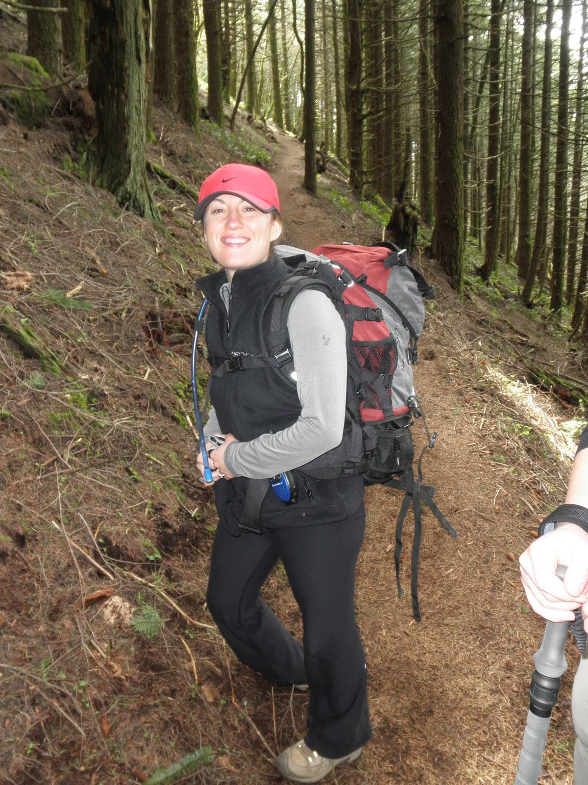 Once again, with my pack loaded to 35lbs, I joined the intermediate group led by our training leader, Kelly. From the large parking area, the trail began steeply. In several minutes into the hike, I tried to take a sip of water from my hydration tube when I realized that there was no water coming out! I thought perhaps the mouth piece was malfunctioning so I dug out the spare mouth piece and replaced it during our gear check break. Ugh, still no water!! Luckily the problem was pretty simple - somehow the tube got twisted when I put it in my back pack the night before. Thank goodness!! Though I had another bladder of water in my pack as a weight, it would have been a major hassle if I had to use that.
  After gaining about 700' already in the first 1/2 mile, we came to a fork in the trail. There was a Roadrunner cartoon style sign post with two planks of wood nailed to it. One read "More difficult" that pointed to the left, and the other "Less difficult" etched on to it. Both trails before us would lead to the top after 2850 ft of elevation gain. On normal hikes, your choice would be dictated by whether you liked pain in your lungs better than in your knees or vice versa.
 On any Reach The Summit hike, there was only one choice for us  by default. The left fork climbed steeply up the northern flank of the mountain (the brown dotted line) with only few brief, relatively flatter sections.
  Though I felt like my level of fitness has regressed somewhat in the past couple of weeks as I had not been able to do much of physical exercises during that time due to some family stuff going on, I was actually surprised by how quickly we ascended this steep mountain.
 by default. The left fork climbed steeply up the northern flank of the mountain (the brown dotted line) with only few brief, relatively flatter sections.
  Though I felt like my level of fitness has regressed somewhat in the past couple of weeks as I had not been able to do much of physical exercises during that time due to some family stuff going on, I was actually surprised by how quickly we ascended this steep mountain.
  After an hour and fifteen minutes or so of pounding this wickedly steep trail, we were already popping out of the woods and were rewarded by the incredible panoramic view of the Columbia River Gorge as we emerged into the summit meadows. In fact, the view was so amazing to the point of distraction that I really had to remind myself from time to time to bring my focus back to the task of climbing at hand. At this point, we had only another 500' in elevation to go to get to the summit.
 We enjoyed our lunch sitting near a small patch of snow. Mt. Hood (left) was showing off its gnarly summit blanketed in clouds behind the Gorge. Mt. St. Helens (right) was probably the most prominent of all - even though its east half had been blown off by its last eruption, it exerted its massive presence.
 I almost missed Mt. Adams (left) as it was sort of hidden behind the trees from where we were sitting. I couldn't wait to set my foot on it this August!
  Mercifully, we descended via the "Less difficult" route that took us to the east side of the mountain that was supposed to give us a little break from having to jack hammer the dirt with our poor knees. Notice I said "was supposed to". As tough as going up was on our quads, going down was torturous to say the least. But it's true, though, that the most important part of climbing is the going down part. I was at one of the REI's seminar, "Climbing the Cascades," last night and the guy who threw the talk put it best: "The best place to be on any mountaineering trip is the parking lot."
This weekend, we are going to have tons of fun at Mt. Hood!! The guides from the Timberline Mountain Guides, who are volunteering to provide us with the technical training and guide services, are going to spend all day giving us instructions on basic mountaineering techniques. Stay tuned!!


No comments:
Post a Comment